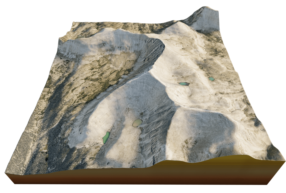


Kings Peak mount 3d terrain
Peak of Kings Peak in the Uinta Mountains 3d terrain. 3d model landscape of the Kings Peak
3d model landscape of Kings Peak, Uinta Mountains, Duchesne County, Utah, U.S.
High Poly mesh High detailed model
with 7K textures - Diffuse map - AO map -Displacement map -Normal map -Roughness map
The Blend file do not require the displacement, but you can still use it if you want to create other island model yourself
texture example from the Kings Peak, Uinta Mountains, Duchesne County, Utah, U.S. Kings Peak is the highest peak in the U.S. state of Utah, with an elevation of 13,528 feet. Kings Peak is located just south of the spine of the central Uinta Mountains, in the Ashley National Forest in northeastern Utah, in north-central Duchesne County. It lies within the boundaries of the High Uintas Wilderness.
Model Details
- FormatsOBJ, STL, FBX, BLEND
- Polygons122497
- Vertices123233
- animatedno
- materialsyes
- texturesyes
- riggedno
- uvsyes
- 3d print readyno
You will get 6 files
All files previously purchased will always be available for download in your Library
![ORNAMENTS ALPHA [COMPACT VERSION]](https://d27nqrvkk22y65.cloudfront.net/cover/image/106757/cropped_thumb_e50940338e.png)